ok well the first blog eh?
the aim for this project is to encourage people to ride bikes around london more. there are loads of reasons for this - environment, health, road congestion, etc. also its something i'm into.
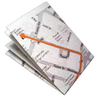
the first idea was to create a web / print system where people could upload their favourite routes and also ride other people's.
although this outcome would be practical blah blah blah, it's quite a bog standard graphics project. it needs to be much more interesting and exciting for people to actually want to fit cycling into everyday life without becoming a hardcore bike nut - a lifestyle more than a specific activity maybe?
will upload the mock-ups shown last week fyi but they need a serious funking up!
any comments ideas etc always greatly appreciated!
chris


